Geographic Information Systems (GIS)
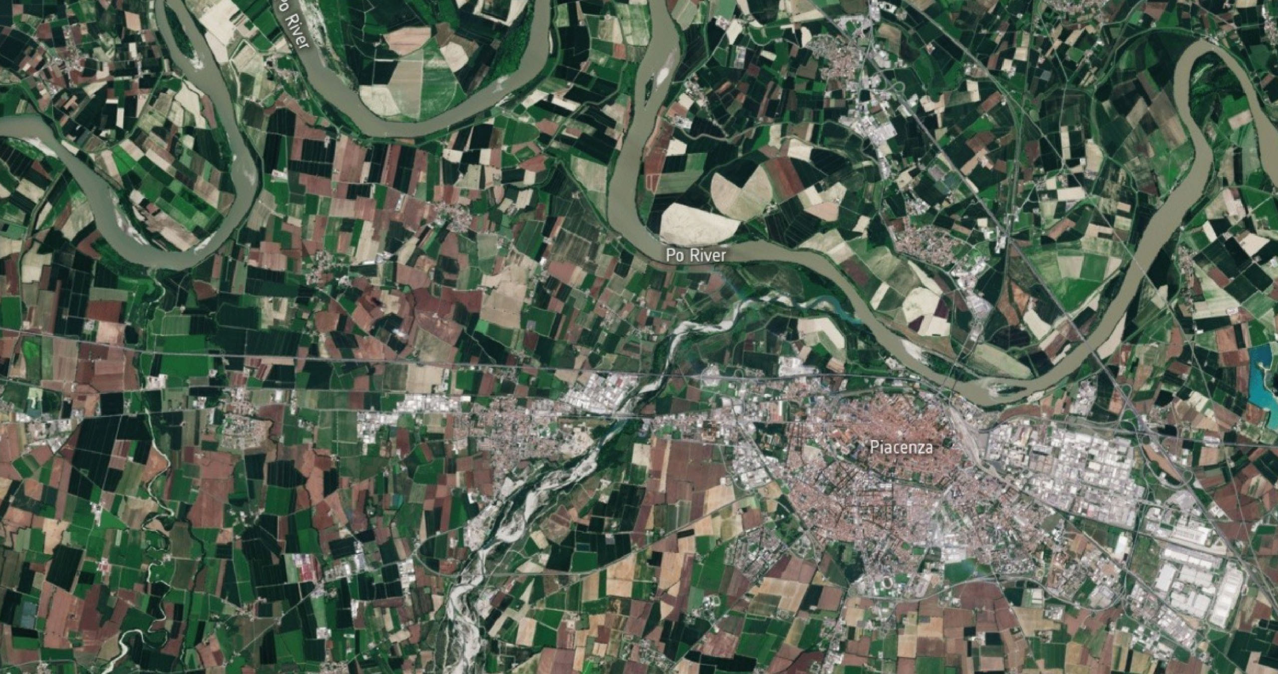
We offer a comprehensive range of services in the field of Geographic Information Systems (GIS), designed to meet the needs of public institutions and private companies through innovative and customized solutions. We specialize in the design and development of tailored systems, integrating geographic and spatial data to ensure effective spatial information management. By leveraging advanced spatial analysis and geostatistical techniques, we support decision-making processes in strategic sectors such as urban planning, environmental management, and territorial planning.
The integration of new technologies is a key element of our approach: we combine GIS with mobile applications and augmented and virtual reality tools, enhancing user experience and optimizing field operations. Additionally, we provide support in managing cadastral and urban planning data, assisting public institutions in digitizing, updating, and consulting cartographic data of all kinds, thus facilitating access to and analysis of territorial information.
Another added value is our commitment to training and technical support, with dedicated programs to ensure the efficient and independent use of implemented solutions. Thanks to our extensive experience, we operate in various fields, including urban planning, logistics, environmental management, and territorial planning, offering scalable and integrated solutions tailored to the specific needs of each client.
Custom-made system
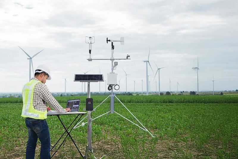
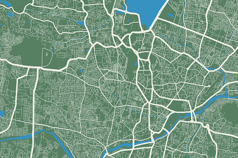
We specialize in the design and development of custom-made systems, integrating geographic and territorial data to ensure effective management of spatial information. Using advanced spatial analysis and geostatistical techniques, we support decision-making processes in strategic sectors such as urban planning, environmental management, and territorial planning.
New technologies
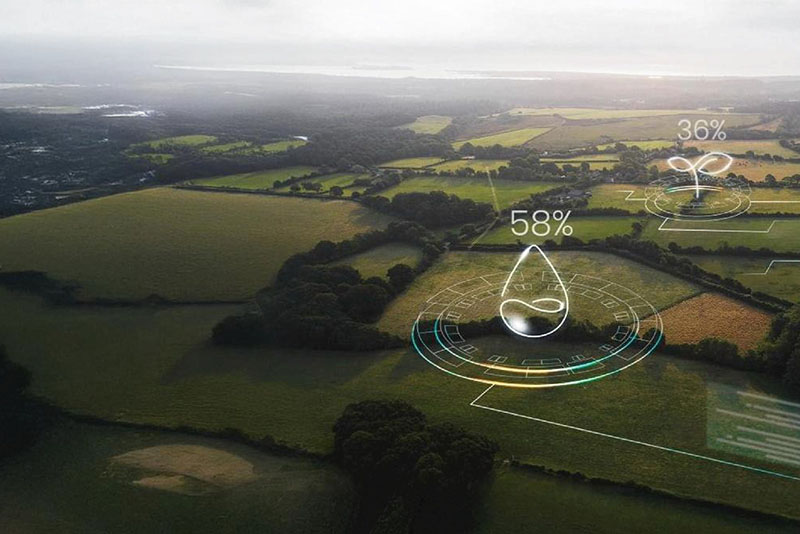
Integration with new technologies is a distinctive feature of our approach: we combine GIS with mobile applications and augmented and virtual reality tools, enhancing the user experience and optimizing field operations.
Data management
Additionally, we provide support in the management of cadastral and urban planning data, assisting public entities in the digitization, updating, and consultation of all types of cartographic data, thus facilitating access to and analysis of territorial information.
Training and Technical Assistance
Through the visualization and processing of spatial data, we help public and private entities optimize territorial planning, improve environmental resource management, and ensure sustainable and efficient land development.
An additional value is provided by our commitment to training and technical assistance, with programs dedicated to ensuring efficient and independent use of the implemented solutions. Thanks to this consolidated experience, we operate in various fields, including urban planning, logistics, environmental management, and territorial planning, offering scalable and integrated solutions that meet the specific needs of each client.
