Controls in agriculture
Our company provides highly specialised services in the agricultural and territorial sector, dealing with agro-environmental monitoring, livestock farm inspections and territorial control through advanced remote sensing technologies and field surveys. Thanks to the use of GIS tools and the analysis of very high-resolution aerial and satellite images, we operate within the framework of the Integrated Management and Control System to ensure effective supervision of EU aid through technical-administrative checks and on-site inspections.
We work alongside the Public Administration, including the Ministry of Agriculture, Food Sovereignty and Forestry, the Paying Agencies and the Regions, offering support and consultancy in the planning, management and implementation of controls related to Cross-compliance and Rural Development on a national scale. Our activity also extends to the verification and monitoring of Sectoral Interventions and Operational Programmes at central and regional level, as well as to the analysis of Support and Payment Applications for the disbursement of EU and national aid to public and private beneficiaries.
Through advanced remote sensing technologies and photo-interpretation methodologies of satellite images, we guarantee objective controls, providing innovative tools for a transparent and efficient management of agricultural and environmental resources.
We combine knowledge and experience
An increasingly innovative vision to meet today’s challenges. Our mission is to drive sustainability and innovation in the management of agricultural resources, the sector most affected by the impact of climate change.
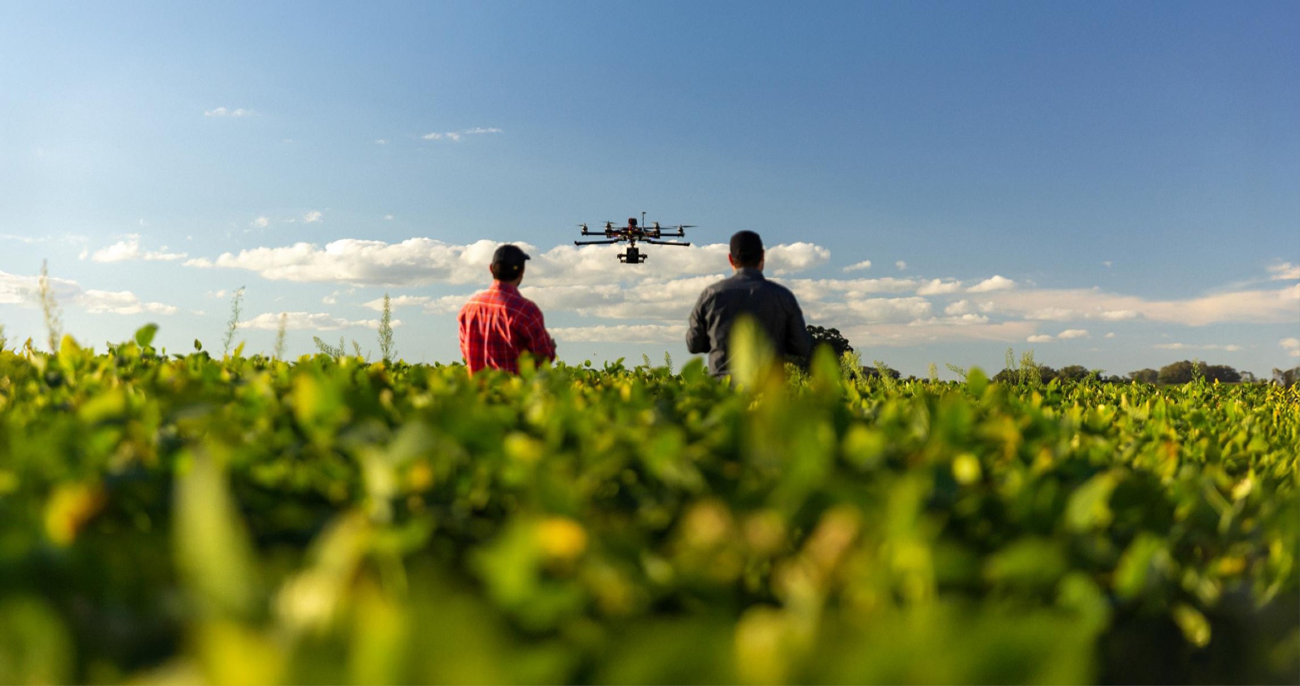
Control systems based on analysis of satellite images, aerial photos and drones.
Territorial and corporate inspections for the verification of agri-environmental requirements. Physical and structural checks on complex projects and programmes.
Advisory and assistance services for the management and evaluation of co-financed programmes and projects.
Consorzio Stabile ARCODREA ENGINEERING
Cooprogetti, through the Consorzio Stabile ARCODREA ENGINEERING, deals with the management and control of environmental, agricultural and forestry resources and the provision of EU, national and regional funds. It is also engaged in the implementation of innovative services to central and local public administration.
Since 1992, in the field of control
We are Italy’s leading provider of innovative services to central and local public administration. In Integrated Controls in Agriculture for over 30 years for the Common Agricultural Policy (CAP) and for the conservation and sustainable development of the environment, rural space and environmental resources.
We monitor the environment and trace production chains, from observation of the land to information processing. With a forward-looking vision and customer-centric approach, our mission is to drive sustainability and innovation in agriculture, building a more digital and sustainable future.
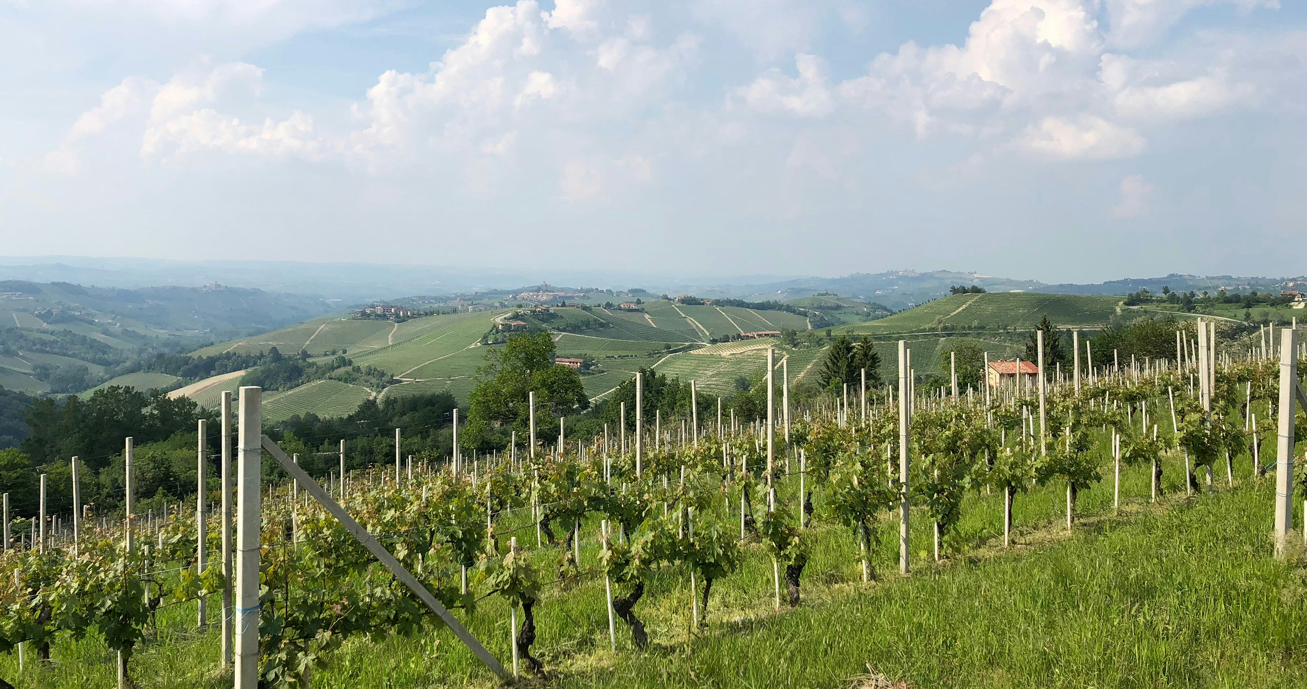
Specialised Agro-Environmental Monitoring Services
Using GIS tools and the analysis of very high-resolution aerial and satellite images, we operate within the framework of the Integrated Management and Control System to ensure effective supervision of EU aid through technical-administrative audits and on-site checks.
Our company provides highly specialised services in the agricultural and land sector, dealing with agro-environmental monitoring, livestock farm inspections and land control using advanced remote sensing and field survey technologies.
We assist Public Administrations, including the Ministry of Agriculture, Paying Agencies and Regions, by providing support and advice in the planning, management and implementation of controls related to Cross Compliance and Rural Development on a national scale.
Our work also extends to the verification and monitoring of Sectoral Interventions and Operational Programmes at central and regional level, as well as the analysis of Applications for Support and Payment for the disbursement of EU and national aid to public and private beneficiaries.
Through advanced remote sensing technologies and photo-interpretation methodologies of satellite images, we ensure objective controls, providing innovative tools for transparent and efficient management of agricultural and environmental resources.
